Geology Seminar
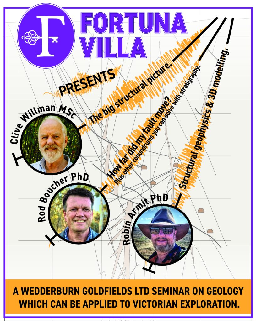
Victoria’s recorded gold production since 1851 is greater than 80 million ounces, or 1.5% of all the world’s gold from just 0.03% of the world’s land area. Geological 3D-mapping and targeting simulations by the Geological Survey of Victoria indicate that up to 75 million ounces of gold could still be hidden under shallow cover in the northern parts of the Bendigo, Stawell, and Melbourne zones, including multiple million-ounce occurrences. In this prospective environment, Wedderburn Goldfields Ltd and Fortuna Villa presented a seminar on “Geology which can be applied to Victorian exploration” in March 2024.
The presentations from the seminar are available for download on this page below the poster on the right.
Fortuna Villa
Fortuna Villa is an icon of Bendigo’s gold mining industry, particularly the extraction of gold from the richest quartz reef in the world in the nineteenth century, that significantly influenced the city’s settlement. The villa was established in 1855 by JTC Ballerstedt, who periodically added to and expanded the impressive mansion until he died in 1869, after which his son sold the estate and associated mines to George Lansell, the “Quartz King” for 20,000 pounds.
Lansell began a lavish building program immediately after he purchased the property in 1871 to accommodate his second wife, Edith and their six children. He commissioned extensive landscaping, which transformed an industrial landscape of settling ponds and tailings dumps into a thirteen-acre estate with five lakes, gazebos, a boat shed and jetties, a tennis court and pavilion, garden seats, a small fountain modelled on the grand fountain in Pompeii next to the conservatory, new entrance gates, gravel paths and drives.
Fortuna Villa was acquired in 1942 by the Commonwealth as the headquarters of the Australian Survey Corps and remained in use as the headquarters of the Australian Army’s Survey Regiment until privately purchased by today’s owners in 2013.
Presenters
Clive Willman MSc
The big structural picture.
Clive Willman has specialised in structural geology and mapping, working mainly in Victoria for the past 44 years. He started his career in 1980 at the Wattle Gully mine (Chewton). He later worked on many gold exploration projects, including Bendigo, Stawell, Heathcote, Costerfield, Nagambie, Inglewood, Blackwood, Sebastian, Malmsbury and Wedderburn.
Clive joined the Geological Survey of Victoria in 1989 and spent 21 years on the regional mapping team. He completed detailed structural and biostratigraphic mapping of the Bendigo and Castlemaine gold fields and spent over ten years working on the GSV’s 50k map series in eastern Victoria’s high country. Clive was part of the interpretation team for the 2006 deep seismic survey in central Victoria and has contributed to numerous scientific papers and books on Victoria’s geology. Clive was awarded The Selwyn Medal in 2003 for his “major contribution to new knowledge of the geology of Victoria” and the Stillwell Medal in 2011 as co-author of the “best paper of the year in the Australian Journal of Earth Science”.
Clive has produced several geoscience education films for his YouTube channel “Geology Films”.
Rodney Boucher PhD
How far did my fault move?
Plus other conundrums you can solve with stratigraphy.
Rodney Boucher has developed expertise in Victorian gold exploration over 25 years and consulted extensively at Fosterville, Bendigo, Ballarat East, North Ballarat, Creswick, Serpentine, St Arnaud, Lockington, Rushworth, across northeastern Victoria in addition to the Northern Territory, Tasmania, NSW and New Zealand. Linex has consulted for exploration for Cu-Au, base metals and IOCGU exploration in all states in addition to assisting in the first geothermal exploration in the country. Rodney assisted with structural/geophysical studies leading up to the discoveries of Carrapateena (SA) and Constellation (NSW). He regularly runs professional development courses on “Turbidite and sedimentary-hosted ore deposits” for gold explorers nationwide.
Rodney has served with the state branch of the Australian Institute of Geoscientists (AIG) as Chair, Vice-Chair and Treasurer for over 20 years. He is a member and RPGeo of the AIG and a member of the AusIMM, GSA, SEG and AAPG.
Robin Armit PhD, MSEG, MASEG, MAIG, MGSA
Structural geophysics – Using the principles of structural geology to interpret sub-subsurface geometries from potential-field geophysics.
Implicit 3D modelling – basic principles of 3D geological modelling and advanced techniques for modelling poly deformed geological terranes.
Robin is an earth scientist with an interest in the fields of structural geology, tectonics, geophysics, and geochemistry. He has 16 years of experience in the minerals exploration industry and ten years as a lecturer at Monash University. He routinely conducts project assessments and commodities across the globe. Robin is in his element, undertaking geological interpretation mapping from outcrop, potential-field geophysics, and geochemical data to inform exploration efforts at all scales. Robin received a PhD in geology from Monash University in 2015 and has supervised seven PhD students to completion on projects across the globe and geological epochs. He is on the team developing the next generation of open-source, implicit 3D probabilistic geological and geophysical modelling platform ‘Loop’. Robin is currently working with local and multi-national miners in Brazil, Indonesia, Africa, and Australia’s Precambrian and Phanerozoic terranes.